
Search the Andover Street Directory
An Andover street search begins with the address itself, but its strongest result is a documented property trail rather than a roster of occupants. The Town Assessor's Patriot Properties form can search a street name with an optional street number. A broad street query can return town land, commercial parcels, condominiums, and vacant land as well as one-family parcels, so the location and parcel identifier deserve more weight than a name alone. The result can then hand off to the Registry, to a narrowly limited voter confirmation form, and to historical material at Memorial Hall Library.
- Enter the street name, and add the number when known, in the Andover Patriot Properties search. Save the situs location, parcel ID, assessed owner, sale information, and book/page shown in the result row.
- Read the owner field as an ownership lead. An LLC, trust, estate, town agency, or out-of-town mailing address can appear there, so it does not establish who lives at the parcel.
- Use the owner, address, or book/page in the Essex North Registry search. The deed's grantor, grantee, recording date, plan, and legal description build the ownership chain.
- When a particular person's name, full date of birth, and residential ZIP are already known, use the state voter form only to check that individual registration. It is not a public street-browse list.
- For earlier households, compare the street and its former number or landmark with Memorial Hall Library directories and street lists. Then use the GIS viewer to place the parcel among roads, lots, and documented abutters.
Note: A street-name match is a starting point, because a parcel record and a deed can describe ownership without identifying the people who occupy the property.
Andover Street Directory Search Fields
The Town's Property Lookup Tools point to Patriot Properties, GIS, scanned documents, and permit history. Patriot is especially useful for an Andover street directory because its filters are optional and include both address keys and property characteristics. Use Street Name first, then Street Number to narrow a particular location. Parcel, Owner, and Book and Page provide separate paths when an address has changed or a deed reference is already in hand. The form also has Go and Clear form controls.
| Patriot field | Input | Required | Andover street use |
|---|---|---|---|
| Parcel | Text | No | Reopens a specific assessed parcel after a street search. |
| Owner | Text | No | Finds the current assessed-owner record, subject to entity and mailing-address limits. |
| Street Name / Street Number | Text | No | Search a whole street or narrow the search to an address. |
| Building Type | Popup | No | Includes choices such as one-family, condo, multifamily, commercial, and open-space categories. |
| Sale Date / Sale Price / Book and Page | Range or text | No | Connects an assessed row to a sale and the Registry document trail. |
| Value, lot, size, LUC, neighborhood | Ranges or text | No | Helps distinguish similar street results without treating a category as a household record. |
The captured field order also includes year built, beds, baths, finished size, lot size, and total value. A blank search is not a useful resident query. Search results are sortable and can show next or last page navigation, which matters when a street returns more than one page.
Read Andover Street Directory Results
A result row contains a compact set of property facts. The inspected Main Street results displayed Parcel ID, Location, Owner, Built/Type, Total Value, Beds/Baths, Lot Size/Finished Area, LUC/Description, Neighborhood, Sale Date/Sale Price, and Book Page. Those columns show why a by-address search has to be read as a parcel list. The same street can include public land, a condominium unit, a commercial building, or a property held by an entity. A direct parcel-card frame also needs an active click-through from a live search session, so the visible result columns are the verified baseline.
| Result item | What it can establish |
|---|---|
| Parcel ID and location | The assessed land record and its situs key. |
| Owner | The current assessed ownership lead, not household membership. |
| Type and LUC | How the assessor classifies the parcel or unit. |
| Sale date, price, and book/page | A route to the recorded transfer and earlier title work. |
| Lot, size, and neighborhood fields | Ways to separate similar results and understand the assessed parcel. |
When the result carries a book/page, use it as the handoff to the Registry rather than guessing at a name match. A property card may offer record-card, sales, zoning, and comments links, but the research did not verify every card field in a live session.
Map an Andover Street by Parcel
The Andover GIS adds the map context that a result list cannot supply. Town documentation describes parcel and easement information, current ownership and property-history material, zoning and overlay districts, wetlands and flood context, school districts, voting precincts, open space, snowplow routes, and public-safety layers. The viewer supports map display, queries, parcel identification, and an abutter list. Pan to a street segment, identify a parcel, save its parcel ID, then inspect the touching parcels or the abutter list. A road, wetland, or open-space strip can separate parcels that look adjacent at a glance.
The Town's property lookup page groups the assessor, GIS, permit, and related tools in one official starting point.
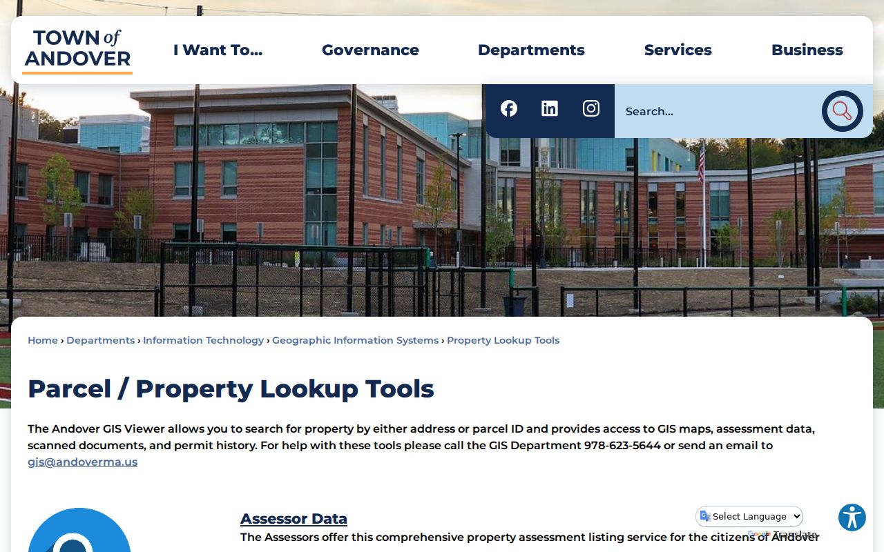
Use the tools as separate checks: the assessor supplies an assessed parcel record, GIS supplies location context, and neither one is an exact legal survey or a list of current occupants.
Andover Street Records by Address
Several Andover record sets use an address, parcel, or street as a practical key, but they answer different questions. The coverage below separates current property records from historic household material and records-request fallbacks. The chain is useful because the parcel and book/page can connect assessor data to a deed, while a historic street name or landmark can connect an older address to library material. None of these records alone proves every person at an address.
| Address record | Custodian | What it can show | Access path |
|---|---|---|---|
| Assessor parcel | Andover Assessor / Patriot | Situs, assessed owner, type, value, characteristics, sale and book/page fields | Free web search; informational current data |
| GIS parcel | Andover GIS | Parcel boundary, easements, zoning, wetlands, districts, and abutters | Public viewer; not a legal survey |
| Deed and plan | Essex North Registry | Grantor, grantee, date, book/page, legal description, plans, liens, and mortgages | Web or counter; older material can require visual index reading |
| Annual census and street list | Town Clerk / Memorial Hall Library | Names reported by street and year, with inclusion limits | Request or reference access; not an open voter roster |
| Historic directory | MHL and digitized scans | Historical address, household notation, occupation, and employer context | Scans and reference collection; gaps and OCR errors occur |
| Permit or code material | Town permitting / Records Access Officer | Potential work, address, date, applicant, and contractor information | Portal link exists; public field coverage was not verified |
Essex North's recorded-land address search uses number, street, suffix, town, and date-range options. Its modern recorded-land name and address instructions cover 1979-present, while scanned grantor and grantee indexes cover 1869-1979 and may require image reading. Plans, Land Court records, entry dates, and book/page searches provide additional ways to bridge an address to a legal record.
Andover Street Names Across Time
Street-name history can explain an empty modern address search. Memorial Hall Library's house-history guidance says Andover adopted street names in 1905. Mineral Street became Red Spring Road, and Green Street became Morton Street. Most houses were renumbered in 1959, especially in West Andover; the guide gives former number 183 Argilla as current number 93. Deeds may use “formerly known as” wording, and early descriptions can refer to a route, an estate, a corner, or a landmark rather than a standardized number.
Use an earlier street name or number alongside a plan, owner name, and nearby landmark. The Library's map holdings include owner-name maps dated 1830, 1852, 1855, 1872, 1882, 1888, and 1906. They can connect a pre-numbered road description to a parcel history without pretending that a map label identifies a present household.
Address key. A modern street number is only one identifier. A parcel ID, book/page, plan, and historic landmark can all be needed to follow the same Andover land record across time.
Andover Street Directory History
Memorial Hall Library supplies the historical by-street layer. Its digital collections list directories and street lists, while the Andover Room keeps Board of Registrars street lists, Greater Lawrence commercial street directories that include Andover, phone directories, maps, and local clippings. The documented street-list runs include assessors' lists for 1925, 1926, 1931, and 1934, then Board of Registrars runs from 1963 through 1988 in several intervals. The directory runs are not continuous, so a missing year is not evidence that a household left.
The 1893-94 directory illustrates the problem of translating an old street entry. Some entries use a house number, while others use a corner or a landmark such as Main opposite Bradstreet school house. District vocabulary includes Abbot Village, Ballard Vale, and Frye Village. For collection dates, scan access, and how to read the entries, use the Andover city directory collections rather than treating an old address line as a current resident record.
- Parcel
- An assessor's identifier for a piece of land or a separately assessed unit. It ties a street result to property records.
- Situs address
- The physical location of the parcel. It is different from an owner's mailing address.
- Plat or plan
- A recorded drawing or plan that locates lots, boundaries, and sometimes abutters. Registry plans may work when the street number does not.
- Criss-cross directory
- A reverse-style directory arranged by address rather than person. MHL holds commercial street directories, but the exact local reverse-directory run requires a reference request.
Andover Street Directory Voter Limits
The Massachusetts Voter Registration Search is designed for an individual confirmation, not for a street query. It requires first name, last name, month, day, year of birth, residential ZIP Code, and agreement to the individual-voter notice. A non-match reports that voter registration information was not found. The research could not inspect a result screen without personal test data, so the page does not represent any unverified result fields.
Massachusetts General Laws chapter 51, section 47C limits public availability of the statewide central registry's names and addresses. The Town's annual census has broader reported fields, but it is not voter registration and it is not an unrestricted web list. The 2025 Town Report's precinct and registration totals provide public aggregate context only. They do not create a street-level list of voters.
Note: An owner record, an old street list, and a voter confirmation each have a different purpose, so matching names should be checked against dates, parcel context, and lawful access rules.
Andover Street Permit Requests
Andover links permitting from its Property Lookup Tools, but the research did not verify a public result form that exposes address, applicant, contractor, date, status, or inspection history. Do not assume that an address search will return those fields. When a permit or code record is needed as part of a house-history question, send a focused request to the applicable Town Records Access Officer under the Massachusetts Public Records Law, M.G.L. c.66 section 10.
- State the exact street address and parcel ID, if known.
- Name the desired record types and the date interval instead of asking for everything about a property.
- Ask for an electronic or native format when available, and say whether inspection or a copy is requested.
- Keep the request narrow enough for the custodian to identify existing logs, permits, or files without creating a new record.
Andover's Public Records Center identifies an RAO roster and accepts oral or written requests. State and local guidance describes a response or acknowledgment within ten business days, subject to exemptions, redaction, and any good-faith fee estimate.
Andover Street Directory Privacy Limits
An address-keyed record has real limits. Assessed ownership does not establish occupancy, and ordinary property records do not list every member of a household. Utility, delivery, and subscriber records are not public resident directories. Most motor-vehicle address information is restricted by the federal Driver's Privacy Protection Act. Court, vital, and protected-voter records can also be sealed, impounded, restricted, or redacted. Massachusetts's Address Confidentiality Program can provide a substitute address for eligible participants and is not a gap to work around.
Use Andover street records for personal, lawful property, family-history, estate, or civic research. Confirm an identity with independent records and leave protected information protected. The Registry itself warns that unsolicited deed-copy letters seeking about $118 are not from the office; its official website and phone route provide copies without that solicitation charge.
Lawful use. Andover address records are for careful personal research. Do not use them to stalk, harass, intimidate, or harm anyone, and do not publish protected addresses or identifiers.