
Andover Previous Residents by Era
For an Andover house history, select the source that matches the period in question. The early land trail and the later web index do not have the same custodian or search method. Directory and street-list holdings add household clues between ownership transfers, while maps, permits, newspapers, probate, and cemetery records can help date a change. The table distinguishes the recorded land chain from material that places people at or near an address. Gaps are meaningful only when the collection's coverage and the old address form have both been checked.
| Source | Years It Covers | Where Held | What It Shows |
|---|---|---|---|
| Essex North recorded-land index | 1869 base; recorded-land instructions 1979-present | Essex North Registry in Lawrence and web portal | Deeds, mortgages, liens, plans, book/page, and title-chain leads |
| Historical Andover deeds | 1700-1870 identified by the MHL house guide | Salem Registry historical path | Earlier legal descriptions, spellings, and ownership transfers |
| MHL directories | 1893-94 through selected 1953 runs | Digital collections and Andover Room | Historic household address, occupation, and employer context |
| MHL street lists | 1925, 1926, 1931, 1934; documented runs 1963-1988 | Memorial Hall Library | Street-level registration context, subject to year and inclusion limits |
| Federal census | 1790-1940 practical public range; 1890 largely lost | NARA, library databases, and genealogy resources | Household composition, age, relationship, and residence context |
| Maps, permits, and newspapers | Varies by collection and record type | MHL, Town permitting, Records Access Officer | Owner-name map clues, work dates, notices, moves, deaths, and estate context |
Begin at the current parcel when the address is known. Shift to the Salem historical path once the recorded land trail reaches the earlier range. When the goal is who lived here before rather than who held title, move into the directory, street-list, census, and newspaper layers for the same period.
Andover Past Residents Start With a Parcel
Patriot Properties gives the most useful current handoff for an Andover previous residents search. Search the current street name and number, then preserve the parcel ID, situs location, current assessed owner, mailing address, sale date, sale price, and book/page. The assessed owner may be a person, an LLC, trust, estate, institution, or absentee owner. It is a title lead, not proof that the owner occupies the property. The parcel and book/page are often more durable than a street number when a lot was divided, a condominium was created, or the road was renamed.
The inspected Patriot result rows show parcel ID, location, owner, type, total value, beds/baths, lot or finished area, LUC, neighborhood, sale date and price, and book/page. The parcel-card detail view needs a live click-through from a search session, so retain the visible row as the verified starting inventory. An exact parcel search can also help separate a similarly named road or a unit from the larger parcel that preceded it.
Note: Copy the parcel ID exactly as the assessor displays it, including spaces and letters, before comparing it to a Registry plan or historical tax-evaluation book.
Andover Previous Residents Deed Trail
The deed chain moves backward from a known transfer. Essex North's portal offers recorded-land name and address modes, Book/Page, year and instrument, entry-date, Land Court, and plan searches. The recorded-land name and address instructions document 1979-present modes. Scanned grantor and grantee indexes cover 1869-1979 and can require image reading. Use both roles and check alternate spellings, initials, married names, trusts, and corporations. A deed is a land transfer record, not a statement that every named party lived at the property.
- Use the assessor result to record the current owner, situs, parcel, sale information, and book/page.
- Find the purchase deed through the Essex North Registry search by book/page, address, or owner name.
- Read the deed for the seller as grantor, the buyer as grantee, the recording date, prior-reference book/page, legal description, and plan reference.
- Search the seller as a grantee to locate that seller's earlier purchase. Repeat the process, saving each document reference and address variant.
- When the modern trail ends, use the scanned indexes, plan records, counter assistance, and the Salem historical path rather than stopping at an online cutoff.
- Grantor
- The party conveying an interest in land, commonly the seller in a deed.
- Grantee
- The party receiving that interest, commonly the buyer. Searching a former owner as grantee can reveal the earlier purchase.
- Chain of title
- The sequence of recorded transfers used to connect a present parcel to earlier ownership interests.
- Legal description
- The deed's lot, plan, boundary, or other land description. It can survive when a street number changes or a parcel is split.
Andover Previous Residents Before 1869
Andover's land-record geography is unusual enough to affect a backward search. The Northern Essex Registry district was created in 1869 for Andover, Lawrence, Methuen, and North Andover. Memorial Hall Library's house-history guide directs researchers to Lawrence Registry deeds from September 1869 forward, and to the Salem Registry path for Andover material from 1700 through 1870. The overlap in the stated transition is a reason to check both the date and the actual record reference, rather than treating a single office as complete for every era.
Older deeds can describe land with buildings thereon, but that wording does not prove when the current structure was built. Read the legal description, plan, and abutter language. The guide also notes older measurements such as rods, poles, links, and chains. A lot can be followed through those descriptions even when no modern number appears.
The Registry reports roughly 90 percent of documents and indexes as digitally imaged, yet older pen-and-paper material can still need office assistance. Its current office is at 1 Union Street in Lawrence, and it describes web copies or copies obtained by phone as free.
Andover House History Research
Memorial Hall Library's house-history method joins land research to people research. It directs researchers from purchase and prior owners to deeds, directories, maps, assessor books, census schedules, newspapers, vital records, permits, and probate. That sequence is useful because each collection has a different key. A deed may identify a lot and a prior transfer. A directory may identify an address, a landmark, or a district. A newspaper notice can add a move, death, marriage, or estate event that should be verified against the underlying public record.
The Memorial Hall Library house-history guide is the local starting point for this combined approach.
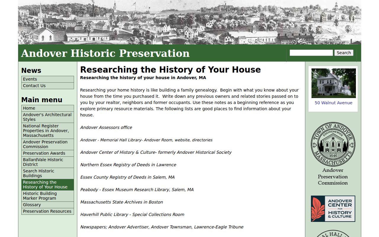
The guide's sequence keeps a present parcel, historical address forms, and household evidence in view at the same time, which reduces mistaken same-name connections.
Andover Past Households by Era
Ownership is only part of an address history. MHL's digital directory collection includes the Andover and North Andover directory for 1893-94, 1923, and 1926; Crosby's runs for 1928-29, 1930-31, and 1932; 1916-17 through 1920 material; 1897-98 and 1913 directories; selected odd-year runs from 1935 through 1953; and Townsman directories for 1899, 1904, 1908, and 1913. The collection is not continuous. Directory scans and street lists can place a person at an old address, but they should be paired with another record before an identity is assumed.
- Select the directory or street-list year nearest the deed or address event and copy the spelling, initials, spouse notation, street wording, district, and landmark.
- Check the MHL street-list run around the same period. It may order people differently and can have its own inclusion rules.
- Pair the result with the nearest public federal census year. Census records provide household composition and ages that can test, not replace, the local address clue.
- Use newspapers for obituary, marriage, probate, and address variants, then return to a later directory to find the first and last observed appearance.
The broader runs and sample-entry conventions belong to the Andover city directory collection. The backward address trail uses them only to attach a household to the appropriate era.
Andover Historic Address Changes
A modern number can be the wrong search key for an earlier household. MHL says Andover street names were adopted in 1905. Mineral Street became Red Spring Road, and Green Street became Morton Street. Most houses were renumbered in 1959, especially in West Andover. Its example of former number 183 Argilla becoming current number 93 shows why an empty address search can be historically false. Deeds may say formerly known as, while early records may describe a route, a named estate, or a landmark.
Use the street section of a directory, an owner-name map, a plan, nearby landmarks, and the legal description to build an address bridge. Current GIS boundaries are informational, not an exact survey, but they can help connect a present parcel to the correct road context. Do not force an old street line onto a modern number without a supporting map or deed clue.
Historical address key. Keep each old street name, number, landmark, district, parcel, plan, and book/page reference together. The combination is stronger than any one address label.
Andover Previous Residents at Landmarks
The 1893-94 Andover and North Andover directory is a useful reminder that a house history can begin with a landmark rather than a number. It was published by Sparrow & Farnsworth and includes citizens, business, and street material. The OCR is helpful but needs page-image checking. Recorded entries use occupations, employer shorthand, spouse notation, corners, village districts, and phrases such as a house opposite a school or near the public library. Those descriptions preserve local context but do not map cleanly to a current postal address on their own.
District terms in the street section include Abbot Village, Abbot District, Bailey District, Ballard Vale, Central District, Frye District, and Frye Village. Search those terms with the older street form, then compare the result with the MHL map holdings and the property description. This is a story-rich historical source, but it is not a present-day resident list and an OCR hit can contain an error.
Andover Previous Residents Maps and Permits
Maps can take the trail further back than house numbering. MHL lists owner-name maps from 1830, 1852, 1855, 1872, 1882, 1888, and 1906. They can show roads, lots, and owner names, subject to the scale and date of the sheet. The Library of Congress Sanborn collection is an authoritative national gateway, but the research did not confirm a local Andover Sanborn sheet or year. It should be searched, not assumed to fill an address gap.
Permits may add construction or alteration timing, but Andover's current linked permitting path was not verified for public field coverage. A focused records request should include the address or parcel, record type, date interval, and preferred electronic format. The Town's Public Records Center says requests may be oral or written and need not use its form. It reports the applicable response process, fee estimate rules, and redaction limits under M.G.L. c.66 section 10.
Andover Previous Residents Endpoints
Newspapers, probate, burial, and Registry safety records can close parts of a previous residents trail. MHL lists the Andover Advertiser from 1853-1866, the Andover Townsman from 1887-2021 in its local collection, and Lawrence American and Andover Advertiser from 1866-1907. Its December 2025 platform announcement describes keyword and date search, clipping, and saving across about 170 years of local coverage. Obituaries, probate notices, marriage notices, and address variants are leads to corroborate with an official record.
Spring Grove Cemetery has a municipal GIS lot search and map, but the research did not inspect a named result. Probate can identify heirs and fiduciaries, though files can be restricted and historic access varies. The Registry also warns that mailed deed-copy solicitations seeking about $118 are not from the office. Check book/page information through the official Registry route, rather than the phone number printed in a solicitation.
The Essex North Registry provides the district office's official access and fraud-alert information.
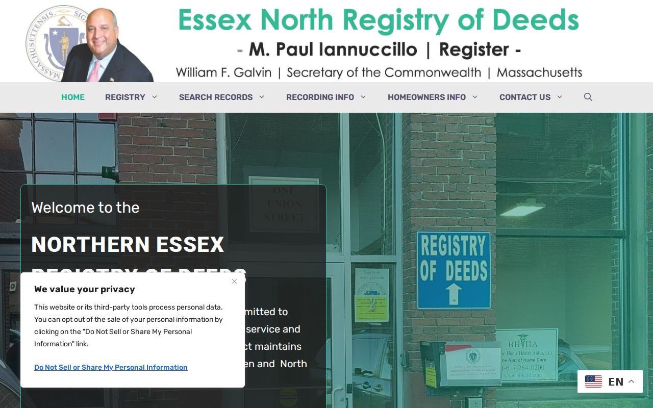
Official Registry contact and search channels help preserve the deed trail without relying on unsolicited copy offers or a same-name assumption.
Lawful use. Use Andover previous-resident research for house history, family history, estate matters, and personal curiosity. Do not use it to stalk, harass, track, or harm any living person.