
Andover Neighbors Block Sources
Public records can describe the immediate geography around an Andover address, but every source has a different boundary. The GIS viewer can identify touching parcels and map layers. The Assessor can return parcels along a street and their assessed owners. The Registry can connect plans and deeds to legal abutters. Historic street lists and city directories can provide dated household context. None offers a current block roster, and none turns an owner field into proof of occupancy.
| Source | What It Shows About a Block | Access |
|---|---|---|
| Andover GIS parcel and abutter tools | Touching parcels, parcel IDs, boundaries, easements, zoning, wetland, district, and property-history context | Public viewer; informational map, not an exact survey |
| Andover Assessor street query | Matching parcels along a street, assessed owner, property type, value, sale, and book/page fields | Public portal; results can include varied parcel types and multiple pages |
| Essex North Registry plans | Lot lines, plan references, legal abutters, grantor and grantee context | Public search and image path; older index material can need visual reading |
| Memorial Hall Library street lists and directories | Dated names associated with a street, household, district, or landmark address | Digital and reference access; coverage and inclusion rules vary |
| 2025 Town Report precinct totals | Aggregate registered-voter counts by precinct | Public report; no individual block roster |
| MHL and ACHC collections | Historical organizations, churches, schools, clubs, and civic context | Reference collections; no public current member roster identified |
The first question should be whether two parcels actually touch. A nearby address across a road, wetland, open space, or another gap may not be an abutter at all. The GIS layers and a Registry plan help make that distinction.
Map Andover Neighbor Parcels
The Town's GIS documentation describes map display, queries, parcel identification, and an abutter list. Begin by locating one address and opening its parcel record. Then use the abutter list or neighboring parcel clicks to record only parcels that share a boundary. Turn on street, easement, zoning, wetland, and district layers as needed. The static documentation did not capture exact live button labels or a parcel-with-neighbors screen, so use the viewer's current labels rather than assuming a fixed control sequence.
- Find the address in the Andover GIS Viewer and identify the target parcel.
- Save the parcel ID, mapped boundary, and any layer context that distinguishes a shared line from a road, water, or open-space separation.
- Open the documented abutter list or click the parcels that visibly touch the target boundary, recording each parcel ID and assessed owner separately.
- Use the Assessor search to read the individual parcel's location, owner, sale, and book/page fields.
- When a legal boundary question remains, use the Essex North Registry plan or deed reference rather than relying on the GIS map alone.
The workflow is address → parcel → touching parcel → assessed owner → plan or deed context. It keeps an Andover neighbors search focused on the block rather than treating a street result as proof of a personal connection.
Set Andover Neighbor Boundaries Carefully
An assessed owner, a mailing address, a parcel boundary, and a person living at a place are not interchangeable. The Assessor may list a municipality, LLC, trust, estate, or an owner whose mailing address is outside Andover. A unit can have its own parcel record. A current address can be part of a split or merged tract that appears under a different plan or legal description in an older deed. The GIS is useful context, but the Town describes its data as informational rather than an exact legal survey.
Search broad streets with care. A captured Main Street result had two pages and included municipal land, commercial entities, a condominium, and historic sales. The output is a list of assessed parcels that matched the street term, not a list of all people on a block. To research a full named street and its title trail, use the Andover street directory, which keeps the address-by-address workflow separate from immediate-neighbor work.
Note: An abutter relationship concerns parcel boundaries and does not establish a social, household, or current-occupancy relationship.
Compare Andover Neighbor Record Categories
Official records and commercial neighbor-lookup categories make different claims. The official chain has a named custodian and a visible scope: a parcel map, an assessed-owner field, a deed plan, or a dated historical source. Commercial categories often combine public records, broker data, and older address history. Their coverage can be incomplete, out of date, or mixed across people with similar names. Use the official source to check the narrower fact before relying on a compiled result.
| Category | Useful for | Limits |
|---|---|---|
| Official GIS and Assessor records | Parcel location, boundary context, assessed owner, and property fields | Owner is not necessarily occupant; GIS is not a legal survey |
| Registry deeds and plans | Legal description, lot context, transfer parties, plan references, and recorded dates | Title transfer is not a household roster; older search may require image reading |
| Historical library and archive material | Dated street, household, organization, and landmark context | Gaps, OCR mistakes, and dated information require verification |
| Commercial compiled categories | A lead that may suggest a question to verify | May be stale, incomplete, or combine same-name people; no substitute for custodian records |
Where a compiled result conflicts with a parcel, plan, or dated directory image, preserve the conflict and verify it with the records custodian instead of choosing the more convenient answer.
Respect Andover Neighbor Voter Limits
Massachusetts does not provide a public address-browse voter roster through its individual lookup. The state voter form requires a first name, last name, complete date of birth, residential ZIP, and agreement to the individual-use notice. M.G.L. c.51 §47C limits ordinary access to the statewide registry's names and addresses. A query cannot be used to assemble everyone associated with a street, ZIP, or surrounding parcel group.
The Town's 2025 Annual Town Report provides aggregate precinct context: it reports ten precincts plus one sub-precinct and public registration totals. Aggregate precinct numbers can explain the scale of a voting area, but they do not reveal individual names or addresses. Protected voters and Address Confidentiality Program participants may also have suppressed or substitute address information.
Find Andover Neighbor Archive Context
No official current neighborhood-association umbrella directory or public member roster was located in the research. The appropriate community layer is therefore archival and contact-based. Memorial Hall Library holds local organization, church, school, company, map, directory, street-list, yearbook, and newspaper material. The Andover Center for History & Culture holds historical and genealogical documents, images, and organization, business, and place materials. These collections can help explain a historical block without claiming who belongs to a current group.
| Archive contact | Block-context material | Access |
|---|---|---|
| Memorial Hall Library, Andover Room 2 North Main Street 978-623-8430 | Directories, street lists, maps, yearbooks, local organizations, newspapers, clippings, and town documents | Digital gateway and reference service; ask for the exact street, year range, and variant names |
| Andover Center for History & Culture 97 Main Street 978-475-2236 | Historical and genealogical documents, images, organizations, businesses, and local-place material | Independent archive and library; confirm current hours, access, and reproduction rules |
The Andover Center for History & Culture is shown below as an archive route for historical Andover neighbors context.
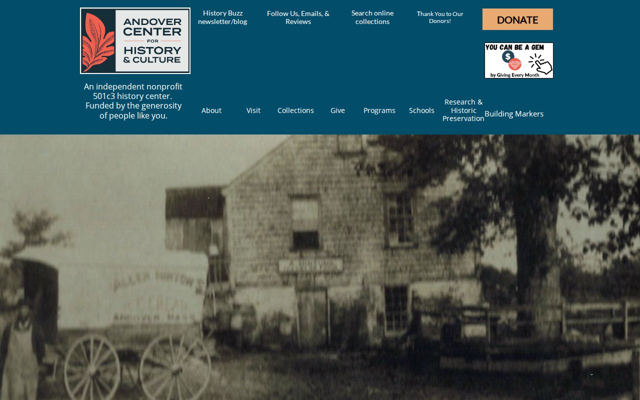
The archive is a source for dated local material, not a current association membership directory.
Trace Historic Andover Neighbors
For a past block, Memorial Hall Library's directory and street-list runs are the key context. The published holdings include directory years from 1893-94 through selected 1953 volumes, assessor street lists for 1925, 1926, 1931, and 1934, and registrar street-list runs from 1963-88. The 1893-94 directory uses district vocabulary such as Abbot Village, Ballard Vale, and Frye Village, along with corners and landmarks. It should not be treated as a modern-number list.
Street names were adopted in 1905 and most houses were renumbered in 1959, especially in West Andover. That history can change who appears next to a historic address. Search old names, old numbers, landmarks, plans, and district terms before connecting a past directory entry to a present parcel. OCR is useful for finding a page, but the page image supplies the actual wording.
Memorial Hall Library's historical-newspaper platform is shown below as a companion source for a dated block search.
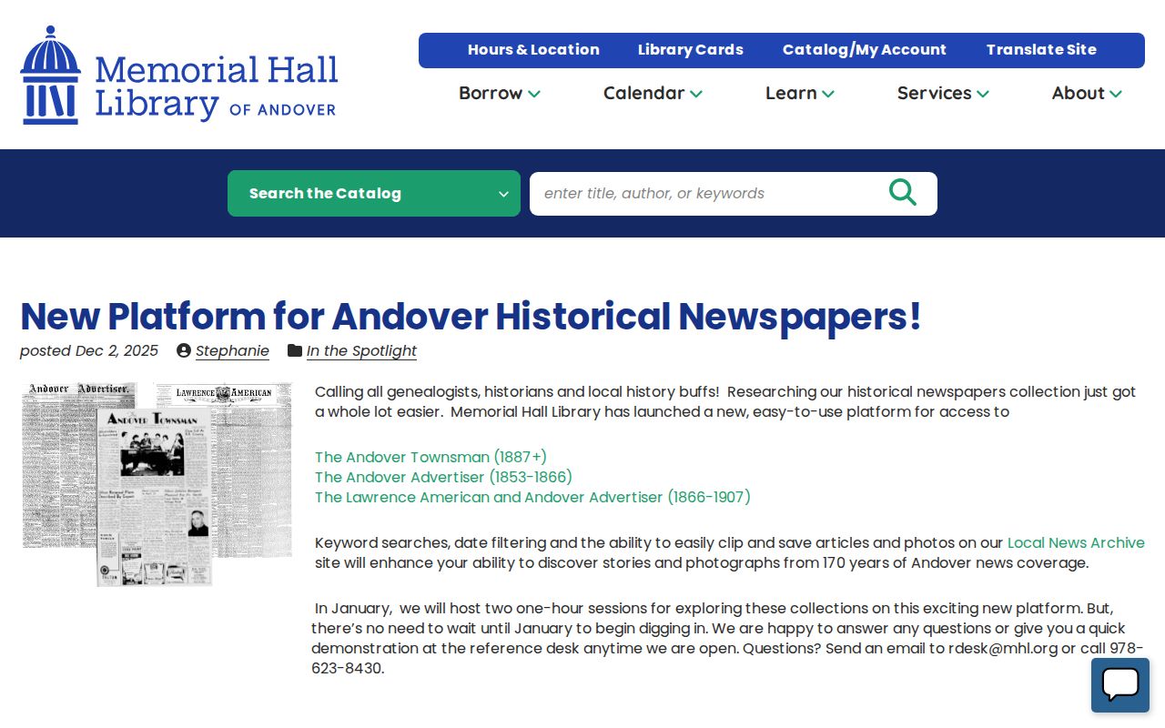
The 2025 platform supports keyword and date searching, clipping, and saving across about 170 years of local newspaper coverage.
Keep Andover Neighbor Research Private
What stays private about a block includes household membership, occupancy status, utility customers, delivery records, most DMV address data, protected voter information, sealed court material, restricted vital records, and information redacted under public-record exemptions. The Massachusetts Address Confidentiality Program assigns a substitute address for qualified participants and protects the actual address in covered uses. A parcel or historical directory result must never be used to try to bypass those safeguards.
Spring Grove Cemetery is a different type of municipal geographic record. Its lot search and GIS viewer can support a dated burial or family-history trail, but the research did not inspect a named result. It should be used for cemetery context rather than assumed residence information.
The Spring Grove Cemetery Viewer is shown below as a distinct municipal map source with its own limits.
Its map can support a burial-history question without becoming a current-neighbors list.
Lawful use. Use Andover neighbors records for personal, lawful research and property or historical context. Do not stalk, harass, intimidate, impersonate, or expose protected information.
Request Specific Andover Neighbor Records
When an online record cannot answer a narrow block question, ask the office that holds the record rather than requesting a new list. The Andover Public Records Center identifies the Records Access Officer path under M.G.L. c.66 §10. A useful request identifies the exact address or parcel, the desired document type, the date range, and the preferred electronic format. For historic sources, Memorial Hall Library or the archive can be faster than a modern Town request.
Ask for a Registry plan, a specified deed book/page, a dated street-list series, or a permit record by address and time period. The Town need not create a block roster, and privacy, court, vital, and voter restrictions remain in place. Precise requests preserve the difference between a public record and information that has never been published.